|
 |
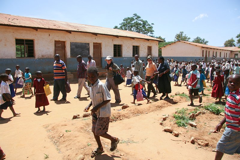
| 20100215-IMG 6397 | |
| Breitengrad: S 6°15'54,11" | Längengrad: E 36°51'41,16" | Höhe über NN: 1388 metres | Ort: Rubeho | Bundesstaat: Morogoro | Land: Tanzania | Stichwörter: Morogoro TZA Tanzania geotagged | Karte anzeigen | |
| Anzahl Bilder: 129 | Erzeugt von JAlbum & Chameleon | Hilfe | |