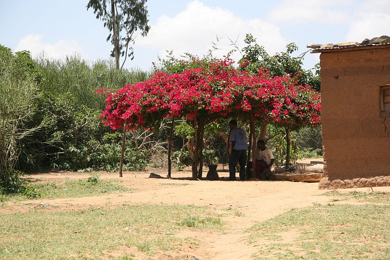
Up Tanzania » 15. Februar Gairo - Robeho » Von Robeho nach Gairo Prev Next Slideshow

 Voriges Bild  Nächstes Bild  Index
20100215-IMG_6453
20100215-IMG_6454
20100215-IMG_6455
20100215-IMG_6456
20100215-IMG_6457
  20100215-IMG_6458.jpg  
20100215-IMG_6459
20100215-IMG_6460
20100215-IMG_6461
20100215-IMG_6462
20100215-IMG_6463

20100215-IMG 6458 Download
Breitengrad: S 6°12'46,21" | Längengrad: E 36°52'7,38" | Höhe über NN: 1342 metres | Ort: Rubeho | Bundesstaat: Morogoro | Land: Tanzania | Stichwörter: Morogoro TZA Tanzania geotagged | Karte anzeigen
Anzahl Bilder: 30 | Erzeugt von JAlbum & Chameleon | Hilfe